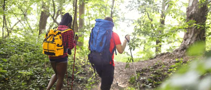
Fall in Virginia is ideal for both hiking and biking. The weather is starting to cool off while the leaves are turning vibrant shades of red, orange, and yellow. Those looking to be active in nature this fall should consider exploring one of these 12 noteworthy trails in the eastern half of the commonwealth.
Washington & Old Dominion Trail
Location: Arlington County, Fairfax County, Loudoun County

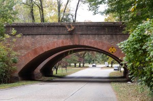
The Washington & Old Dominion Trail, also known as the “skinniest park in Virginia,” stretches for 45 miles across several counties. The nickname comes from the fact that it’s a former historic railroad bed. “It’s easy to plan a fun and regional excursion along each and every mile marker on this fascinating Northern Virginia trail,” the Visit Fairfax site reads. Before starting out on your bicycle, chart your course using this map.
Location: Fairfax County
The Bull Run Occoquan Trail offers hikers a scenic path through more than 5,000 acres of scenic woodlands along the Bull Run Stream Valley and Occoquan Reservoir. “This area played a vital role at different times in our history from the Revolutionary to the Civil War,” states the Visit Fairfax website. “Sites along the trail include various battle points and land features, as well as the more curious, like a grouping of earthen mounds that once comprised a make-shift Civil War fort.” Check out this helpful map of the 18-mile trail.
Manassas National Battlefield Park
Location: Manassas

A hiking trip to Manassas National Battlefield Park allows you the opportunity to get some exercise while simultaneously learning a bit of history. The trails run for more than 40 miles in a series of loops that traverse key areas of the First and Second Manassas battlefields. “Many of these recommended routes include trailside interpretive markers describing the battle action that occurred in that area and highlight the experiences of soldiers and civilians alike,” the 5,100-acre park’s website reads.
Location: Charlottesville
The Pen Park Nature Trail offers a hike with a view. The 1.5-mile trail runs along the Rivanna River and is made up of a collection of paths, including a wide main path and several side trails that provide closer views of the river. There’s a picnic area just off the trailhead, so pack your lunch.
Pleasant Grove Park’s Fluvanna Heritage Trail
Location: Fluvanna County
There are over 20 miles of trails at Pleasant Grove Park, but the Fluvanna Heritage Trail should be at the top of your list. Both the eastern end and western end offer a variety of hiking terrains near the Rivanna River. Birders will especially enjoy the eastern end, which features a .65-mile birding trail that loops off from the main trail. Use this handy trail map to find your way around the park.
Location: Chesterfield County

With 90 miles of trails, Pocahontas State Park is a popular mountain biking destination. The park features several trail systems, including Morgan, Fireroad, Lakeview, and Swift Creek. “Old-school rooty and twisty singletrack! These trails are the original and officially sanctioned singletrack trails in Pocahontas finished in 1998, lovingly known by many locals as the Green, Blue, and Red trails,” explains the Friends of Pocahontas State Park website in its description of the Morgan Trail System. “Ranging from beginner/intermediate level to ‘expert’ these trails feature natural hand-built singletrack, log-overs, natural rock features and multiple creek crossings.”
Location: Richmond, Henrico County, Charles City County, James City County

If you’re in Richmond or Jamestown—or anywhere in between—the massive, 51.7-mile Virginia Capital Trail should be at the top of your list for trails to bike. It’s entirely paved, which makes for an easy ride. Check out this map to find a trailhead near you. If you don’t have a bike but would still like to go for a ride, there are plenty of bike rental shops along the trail.
Location: New Kent County
New Kent County is a cyclist’s wonderland. In 2010, it became the first county in Virginia to have fully mapped and signed bicycle routes when it launched its unique bike trail system, which includes six different bike routes. With each route ranging in length from 15 to 100 miles, it makes things easier that each one is visibly marked with color-coded arrows. The system begins and ends at the New Kent Visitors and Commerce Center. Two of the standout trails include the 27-mile Quarter Century, marked in green; and the 77-mile 3 Quarter Century route, which is marked in orange.
Location: Smithfield

The mountain bike trail at Windsor Castle Park offers visitors a half-mile off-road cycling experience. According to the park’s website, “The natural bike trail is designed to challenge and educate new trail cyclists, yet still provide a good workout for more experienced riders.” Keep in mind, however, that bicycles are not allowed on the walking trails.
Location: Virginia Beach

The Cape Henry Trail offers a great 7.5-mile trek for both hikers and bicyclists who want to explore First Landing State Park. The trail runs parallel to Shore Drive, past the beaches of the secluded Narrows, and connects at the northern tip of the Virginia Beach Boardwalk. “The flat trail, shaded in places by pine and live oak trees, is perfect for avid bird watchers as you’ll see osprey and egrets, and maybe even an elusive eagle,” the Virginia Beach Convention & Visitors Bureau’s website states. Be sure to use this map of the park.
Location: Chesapeake
Given that Northwest River Park consists of 763 acres of mature hardwoods, swamps, and immature forest, you know it has to have some pretty good hiking. It features 7 miles of hiking trails of various lengths, including the Indian Creek, Otter Point, and Molly Mitchell trails. Chart your course by using this map.
Dahlgren Railroad Heritage Trail
Location: King George County

Stretching for 16 miles, the Dahlgren Railroad Heritage Trail offers a robust ride for bicyclists along the route of the 1940s Dahlgren Branch Rail Line. The trail stretches across King George County just south of the Potomac River on the Northern Neck. Avoid getting lost in the 240-acre preserved sanctuary by using this map. While on the trail, be on the lookout for wildlife like blue herons, turtles, and otters.